
Counting the waves…
Counting the waves…
A refined fusion of water purity, environmental stability, and communal vibrancy for Playa Banco de la Caleta.
View MethodologyAnalyzed via live sensors and environmental data.
Wave height, wind, and atmospheric stability.
Live footfall and crowd balance metrics.
Community reviews and curated sentiment.
“You'll arrive along a dirt track that skirts low bluffs, then descend onto sand still damp from the last tide. The water here doesn't crash—it whispers, pooling in saucer-shaped caletas that catch the light like…”
Limited recent visitor reports — live OBI telemetry is your best guide for current conditions.
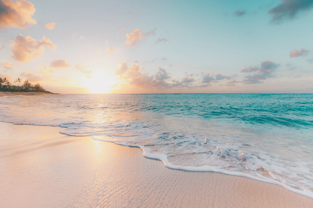
Playa Banco de la Caleta occupies a bend where the Río Negro coast trades drama for subtlety. The shoreline stretches wide and flat, mapped by tides that retreat so far the ocean becomes more horizon than presence. When the water returns, it fills shallow depressions—caletas—carved into the sand and bedrock, creating warm, knee-high lagoons that hold the sun's heat long after the wind picks up off the Atlantic. Gulls and terns work the mudflats; cormorants dry their wings on dark stone outcrops slick with kelp.
You'll share the beach with Argentine families from Viedma who know this stretch as a reprieve from the region's wilder surf zones. Toddlers chase retreating wavelets. Older kids float belly-down in the caletas, faces submerged, hunting for shells and small fish trapped by the tide. There's no boardwalk, no vendors—just a gravel pullout where pickups park beneath the bluff and a narrow footpath down.
Wide white-sand beach with footprints
Cliff-edge cove with emerald water
Warm tidal pools at low tide
Bronze light on ribbed sand
Seabird colonies on kelp-covered rocks
Prime Visitation
Less Crowds
Where it is
Playa Banco de la Caleta
Caleta de los Loros, Río Negro, Argentina
-41.338600°, -63.609700°
Weather
Loading…
Swell
—
Temp
Warm · Restorative
UV Index
Moderate
Wind
—
Tidal State
Last known
Max Sunlight
—
Ideal Shade
—
Jan - Dec (Peak)
Mar - Nov (Off-season)
Historical data suggests peak visibility and stable sea temperatures occur during the prime visitation window.
Select a category to load nearby places.
Unlock restaurants, luxury stays and curated maritime experiences within 2km
The calm waters typical of this beach make it relatively safe for swimming, though the remote location means no lifeguard services. Tidal flats characterize this area, so be extremely cautious of tide schedules to avoid being stranded. The shallow, calm conditions can be ideal for families with children during high tide, but always supervise closely. Water temperatures are cool year-round. Because of the isolation, always travel with companions and inform others of your plans.
This beach is best visited during less crowded periods, which includes most of the year given its remote nature. Summer (December-February) provides the warmest air temperatures, though you'll still find solitude. Understanding tide times enhances your visit, as low tide reveals extensive tidal flats with potential for exploring. Wind can be persistent along this coast, so calm weather windows are valuable. Any season offers scenic beauty for those seeking tranquil, natural coastal environments.
Access requires private transportation along the Camino de la Costa, using Caleta de los Loros as your geographical reference. Public transportation is essentially unavailable to this remote beach. Road conditions may include unpaved sections; verify current status and ensure your vehicle is adequately prepared. GPS navigation is helpful, though exact access points may require local inquiry or exploration. Carry extra fuel, as service stations are sparse. The journey itself offers scenic coastal road views.
This remote beach offers virtually no on-site facilities or services. Caleta de los Loros is a small settlement with minimal infrastructure; don't expect restaurants or formal accommodations. Visitors must be completely self-sufficient, bringing all food, water, and supplies. The nearest proper lodging and dining options are in larger towns like Las Grutas or San Antonio Oeste, making this a day-trip destination. Pack a cooler with meals and ensure you have adequate drinking water.
This beach's character is shaped by the caleta's tidal flats, creating a distinctive coastal ecosystem different from open-ocean beaches. The remote, calm-water environment offers peaceful family-friendly conditions without crowds or development. Natural formations and tidal dynamics provide interest for those who appreciate coastal geology. The hidden location appeals to explorers seeking authentic, undiscovered Patagonian coastline. It exemplifies the raw, undeveloped beauty that characterizes much of Río Negro's lesser-known coastal areas.
Photos