Counting the waves…
Counting the waves…
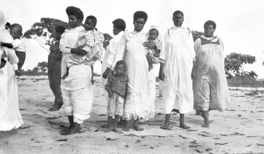
Saibai Island sits so close to Papua New Guinea that you can see the neighbouring coastline on clear days, a reminder that borders mean little to tides and migratory birds. The beach unfolds in muted tones—ochre sand, olive mangroves, water that shifts from milky jade to steel-grey depending on the cloud cover overhead. At low tide, the sea retreats hundreds of metres, revealing ribbed mudflats where herons pick their way across the exposed seabed. This is not a beach for plunging into waves. Instead, you time your visit to the water's return, when the shallow bay fills slowly and warmly, lapping at your ankles with barely a whisper. Local families arrive in the late afternoon, spreading mats beneath coastal she-oaks while children wade through the shallows. The air smells of salt and wet earth, occasionally cut by the sweetness of frangipani blooming near the shoreline. You're visiting a Kaurareg and Saibailgal homeland, where the rhythm of the sea has governed daily life for thousands of years. There are no beach clubs or boardwalks here—just a sweep of sand where the Torres Strait laps at the edge of Australia, unhurried and unchanged. When the tide pulls back out, it leaves behind a silence broken only by the calls of Torres Strait pigeons settling into the trees.
Places, rentals, tours and events within walking and driving distance of Saibai Island Beach.
Photos
Swimming conditions at Saibai Island Beach require caution. The waters are generally calm, but crocodiles inhabit the region, making swimming potentially dangerous. Additionally, box jellyfish are present in Torres Strait waters, particularly during warmer months (October to May). Strong currents can also occur. Visitors should consult local residents and authorities before entering the water, avoid swimming alone, and never swim at dawn, dusk, or night when crocodiles are most active. Always prioritize safety and heed local warnings.
Saibai Island has a tropical climate suitable for year-round visits, though conditions vary seasonally. The dry season (May to October) offers more comfortable weather with lower humidity, less rainfall, and calmer seas, making it ideal for beach activities. The wet season (November to April) brings heavy rains, high humidity, and occasional cyclones, though temperatures remain warm. Note that sea conditions and jellyfish presence should be considered when planning your visit, regardless of season.
Reaching Saibai Island requires advance planning as it's one of Australia's most remote locations. Regular flights operate from Horn Island (which connects to Cairns) via light aircraft, typically several times weekly. There are no vehicle ferries for tourists, and private boats need special permits. Once on Saibai Island, the small community is walkable, and local transport can be arranged. Visitors require permission from the Torres Strait Island Regional Council to visit, as it's Aboriginal land under Islander control.
Saibai Island has very limited tourist infrastructure. Accommodation options are minimal and must be arranged well in advance through the local council or community. There are no hotels or resorts; visitors typically stay in basic guesthouse facilities. Dining options are extremely limited, with no restaurants—visitors should bring supplies from Horn Island or Cairns. The island has a small store with basic provisions. It's essential to be self-sufficient and arrange all logistics before arrival.
Saibai Island is extraordinarily close to Papua New Guinea—just 4 kilometers from the PNG coastline at its nearest point. On clear days, Papua New Guinea is easily visible across the water, making Saibai one of Australia's northernmost inhabited islands. This proximity has created strong cultural and family connections between Saibai Islanders and PNG communities. However, the international border is strictly controlled, and crossing requires proper documentation and permissions from both Australian and PNG authorities.
