Counting the waves…
Counting the waves…
A refined fusion of water purity, environmental stability, and communal vibrancy for Betio Beach.
View MethodologyAnalyzed via live sensors and environmental data.
Wave height, wind, and atmospheric stability.
Live footfall and crowd balance metrics.
Community reviews and curated sentiment.
“Feel the coarse, sun-baked sand beneath your feet as you trace the shoreline of Betio, a beach etched with the echoes of a pivotal past. The air, thick with salt and memory, invites reflection, while the distant hum of…”
Higher weekend density may affect water purity and crowd scores temporarily.
Betio Beach, though an urban stretch, carries a profound historical weight that sets it apart. As you walk its length, you're treading on ground that witnessed one of the fiercest battles of World War II. The remnants of that era, from rusted landing craft to concrete bunkers, are still visible, stark reminders against the backdrop of the serene Pacific.
The sand here, a mix of coral fragments and darker grains, tells a story of resilience. The water, a deep blue, contrasts sharply with the island's past, now serving as a busy channel for local boats and fishing vessels. The sounds of the working port, the cries of gulls, and the gentle wash of waves create a unique soundscape.
 Credit: Unsplash
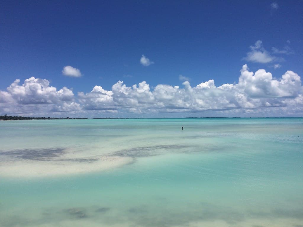
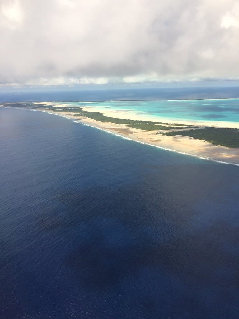
Beach, calm ocean, and distant island under cloudy sky
 Credit: Unsplash
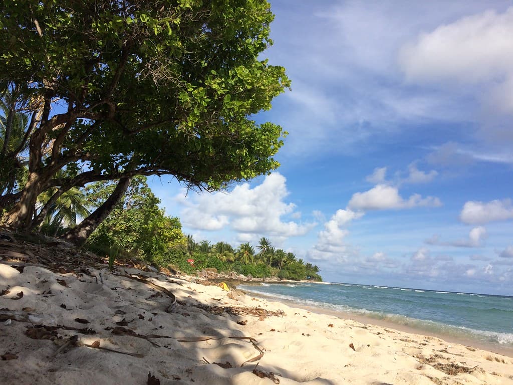
Ocean waves wash a sandy beach with rocky hills
Discover historical artifacts
Trace battle lines
Contemplate history
Prime Visitation
Best Weather
Where it is
Betio Beach
South Tarawa, Gilbert Islands, Kiribati
1.354500°, 172.931700°
Weather
Loading…
Swell
—
Temp
Warm · Restorative
UV Index
Moderate
Wind
—
Tidal State
Last known
Max Sunlight
—
Ideal Shade
—
Jan - Dec (Peak)
May - Nov (Off-season)
Historical data suggests peak visibility and stable sea temperatures occur during the prime visitation window.
Select a category to load nearby places.
Unlock restaurants, luxury stays and curated maritime experiences within 2km
Betio Beach is an urban beach, and as such, swimming conditions can vary. It's generally advisable to observe local practices and any posted advisories regarding water quality. While the beach is historically significant, its urban nature means that water clarity and currents might be different from more secluded spots. Always exercise caution and consider local advice before entering the water.
The best time to visit Betio Beach is generally during periods of 'Best Weather'. This typically refers to times with less rainfall and more sunshine, making for a more pleasant visit. While it's an urban beach, good weather enhances the experience of exploring its historic shoreline and enjoying the surroundings. Check local weather forecasts closer to your travel dates for the most accurate information.
Betio Beach is located on South Tarawa, which is a relatively developed atoll. Access is typically straightforward via local transportation options such as taxis, shared minibuses, or even by bicycle. Given its urban classification and historic significance, it's likely a well-known location, making directions easy to obtain from locals or your accommodation providers. The island's infrastructure supports easy movement.
As an urban beach on South Tarawa, Betio Beach is likely to have a range of food and lodging options nearby. You can expect to find local eateries, small restaurants, and perhaps some guesthouses or hotels within a reasonable distance. Given its historic importance, there might be amenities catering to visitors. It's always recommended to book accommodation in advance, especially during peak travel times.
Betio Beach is renowned for its historic shoreline, particularly its role in World War II. It was the site of the Battle of Tarawa, a pivotal and intensely fought battle. Visitors can still find remnants and memorials related to this history, offering a poignant glimpse into the past. This makes it a unique destination for those interested in military history and understanding the island's profound wartime experiences.
Photos