Counting the waves…
Counting the waves…
A refined fusion of water purity, environmental stability, and communal vibrancy for McClures Beach.
View MethodologyAnalyzed via live sensors and environmental data.
Wave height, wind, and atmospheric stability.
Live footfall and crowd balance metrics.
Community reviews and curated sentiment.
“You'll know you've earned McClures Beach when the trail drops below the ridgeline and wind-whipped grasses give way to the roar of surf. Cold water crashes against offshore rocks, harbor seals bask on distant ledges,…”
Limited recent visitor reports — live OBI telemetry is your best guide for current conditions.
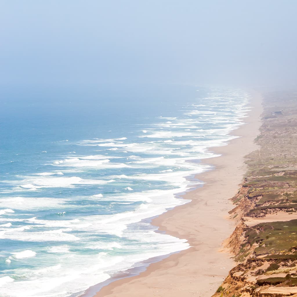
The trailhead at Pierce Point Road offers no hint of the drama waiting below. You descend through coyote brush and lupine, boots crunching on compacted dirt, until the path switchbacks down a final slope and spills you onto a beach that feels like the edge of the continent. Granite boulders the size of shipping containers punctuate the sand, smoothed by millennia of winter storms. At low tide, you can pick your way north past these sentinels toward a sea arch carved into the headland, but the Pacific here is unforgiving—riptides and frigid water make swimming a fool's errand.
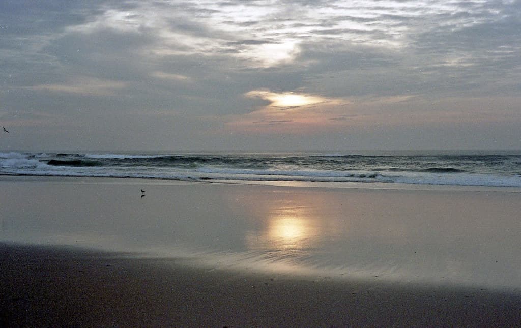
Seals haul out on the rocks beyond the surf line, their barks carried on the salt wind. Kelp lies in tangled ribbons along the high-tide line, and sanderlings chase retreating waves in frantic bursts. The beach faces northwest, which means late-afternoon light turns the cliffs behind you into walls of rust and gold.
 Credit: Unsplash
brown rocky mountain beside body of water during daytime
 Credit: Unsplash
gray and brown mountain beside body of water
Low tide only, check tables
Binoculars for offshore rocks
Tuck behind granite boulders
Where it is
McClures Beach
Inverness, California, USA
38.253000°, -122.982000°
Weather
Loading…
Swell
—
Temp
Warm · Restorative
UV Index
Moderate
Wind
—
Tidal State
Last known
Max Sunlight
—
Ideal Shade
—
May - Sep (Peak)
Jan - Dec (Off-season)
Historical data suggests peak visibility and stable sea temperatures occur during the prime visitation window.
Select a category to load nearby places.
Unlock restaurants, luxury stays and curated maritime experiences within 2km
Swimming at McClures Beach is generally not recommended due to strong currents, unpredictable waves, and cold water temperatures typical of Northern California's coast. The beach is part of Point Reyes National Seashore, where riptides and sneaker waves pose serious risks. Wading near shore can be dangerous, especially during high tide. The National Park Service advises visitors to enjoy the beach for scenic walks, tidepooling, and photography rather than swimming. Always keep a safe distance from the water's edge and never turn your back on the ocean.
McClures Beach can be visited year-round, with each season offering different appeals. Spring and summer provide clearer skies and calmer conditions for hiking the trail down to the beach. Fall and winter bring dramatic storm-watching opportunities and stunning sunsets, though fog is common in summer months. Low tide is ideal for exploring tidepools and the full beach expanse. Weekdays are less crowded than weekends. Arrive at least two hours before sunset for optimal lighting and to allow time for the 0.5-mile walk down to the beach.
McClures Beach is located at the end of Pierce Point Road in Point Reyes National Seashore, about 45 minutes north of Point Reyes Station. From Highway 1, take Sir Francis Drake Boulevard to Pierce Point Road and follow it to the trailhead parking lot. The lot has limited spaces and fills quickly on weekends and holidays. There are no entry fees for Point Reyes. From the parking area, it's a half-mile trail downhill to the beach. The path is moderately steep, so plan accordingly for the uphill return.
McClures Beach has no facilities, restrooms, or amenities at the trailhead or beach itself. The nearest town is Inverness, about 30 minutes away, which offers restaurants, cafes, and vacation rentals. Point Reyes Station, approximately 40 minutes from the beach, has more dining options and small inns. Olema and nearby communities also provide lodging. The closest established campground is at Point Reyes National Seashore. Pack water, snacks, and layers, as coastal weather can change quickly and no services are available at the beach.
Yes, McClures Beach features a distinctive natural rock arch and tunnel formation at its southern end that you can walk through during low tide. This geological feature is one of the beach's main attractions and creates stunning photographic opportunities. However, access depends entirely on tide levels—consult a tide chart before visiting, as the tunnel is impassable during high tide. Be cautious of slippery rocks and never enter if waves are crashing through. Time your visit carefully to explore this unique formation safely and allow buffer time before the tide rises.
Photos