
Counting the waves…
Counting the waves…
A refined fusion of water purity, environmental stability, and communal vibrancy for Camille Cut Beach.
View MethodologyAnalyzed via live sensors and environmental data.
Wave height, wind, and atmospheric stability.
Live footfall and crowd balance metrics.
Community reviews and curated sentiment.
“You'll feel the shift when your ferry rounds the island's western tip—calmer water on one side, open Gulf on the other, with a narrow cut of sand between them. Camille Cut Beach occupies the scar left by 1969's…”
Limited recent visitor reports — live OBI telemetry is your best guide for current conditions.
The ferry from Gulfport drops most passengers at Ship Island's eastern beaches, but if you walk west along the shore for twenty minutes, you'll reach the break where Hurricane Camille tore the island in two. The channel has since filled with sand, creating Camille Cut Beach—a thin strip where the Sound's brackish water laps one side and Gulf rollers hit the other. You'll hear the difference before you see it: the Gulf's rhythmic crash versus the Sound's gentle slosh.
Shells accumulate here in quantities that make beachcombers kneel mid-stride. Olive shells, whelks, and sand dollars cluster along the tide line, deposited by converging currents. Shorebirds work the waterline in concentrated numbers, probing the packed sand. The beach curves in a gentle arc, wide enough for a blanket but narrow enough that you're never more than thirty feet from water on either side.
Aerial view of turquoise tropical bay
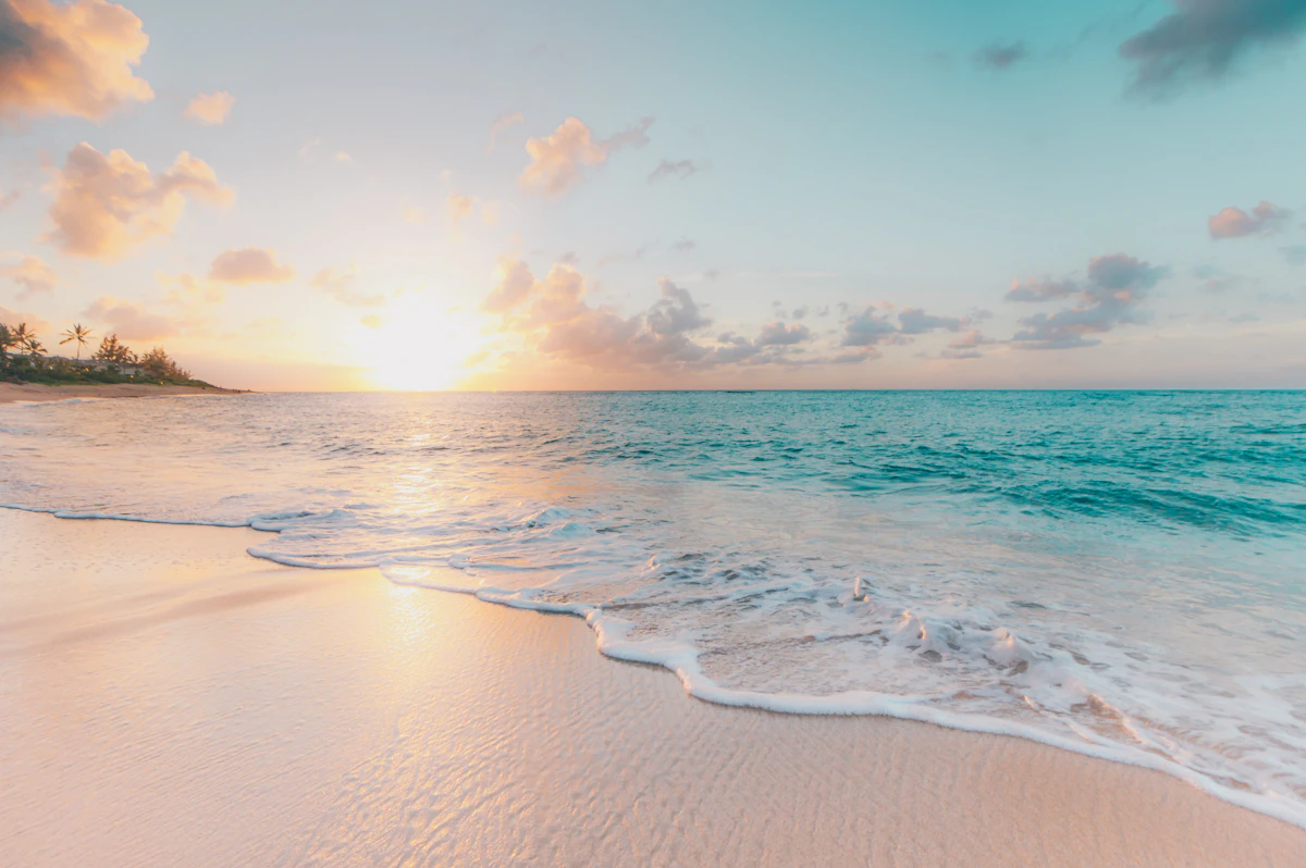
Wide white-sand beach with footprints
Sound side stays warmer, shallower
Dual currents concentrate olive shells
Navigate where Camille split land
Where it is
Camille Cut Beach
Gulfport, Mississippi, USA
30.231100°, -88.956400°
Weather
Loading…
Swell
—
Temp
Warm · Restorative
UV Index
Moderate
Wind
—
Tidal State
Last known
Max Sunlight
—
Ideal Shade
—
May - Sep (Peak)
Jan - Dec (Off-season)
Historical data suggests peak visibility and stable sea temperatures occur during the prime visitation window.
Select a category to load nearby places.
Unlock restaurants, luxury stays and curated maritime experiences within 2km
Camille Cut Beach offers generally calm waters suitable for swimming, though conditions vary with weather and tides. The beach lacks lifeguards, so swim at your own risk and supervise children closely. Check local weather forecasts and tide schedules before visiting. The sandy bottom and gradual depth make it relatively safe for wading. However, as with all Gulf Coast beaches, be aware of jellyfish during warmer months and avoid swimming during storms or when red flags are posted nearby. Strong currents can develop during rough weather.
Camille Cut Beach is accessible year-round, with May through October offering the warmest weather and water temperatures in the 70s-80s°F. Spring and fall provide pleasant conditions with fewer crowds and comfortable temperatures in the 60s-70s°F. Summer brings heat and humidity but ideal beach weather. Winter months are cooler but still mild compared to northern destinations, with temperatures typically in the 50s-60s°F. Weekdays tend to be less crowded than weekends regardless of season. Hurricane season runs June through November, so monitor weather forecasts during these months.
Camille Cut Beach is located on West Ship Island, accessible only by boat. Commercial ferry services operate from Gulfport Harbor during warmer months, typically March through October, with round-trip tickets available for purchase. The ferry ride takes approximately one hour. No vehicle access exists since it's a barrier island. Once you arrive by ferry, parking isn't applicable. Private boats can also reach the island. Check current ferry schedules and availability in advance, as service depends on weather conditions and seasonal operations.
Camille Cut Beach has very limited amenities as it's located on a barrier island. The island typically has a small concession stand during peak season offering snacks, drinks, and basic food items, but visitors should bring their own food and plenty of water to be safe. Restroom facilities and covered pavilions are usually available near the fort area. No lodging exists on the island itself; all accommodations are in Gulfport on the mainland. Bring sunscreen, umbrellas, and anything else you'll need for the day, as options are minimal.
Camille Cut Beach is named after Hurricane Camille, the catastrophic Category 5 hurricane that struck the Mississippi Gulf Coast in August 1969. The powerful storm literally cut West Ship Island in two, creating a channel that separated what had been a single landmass. This dramatic geographical change created the 'cut' referenced in the beach's name. The island remains split, with the beach area on one portion. This hurricane remains one of the most intense to ever hit the United States, leaving a permanent mark on the coastal landscape.
Photos