
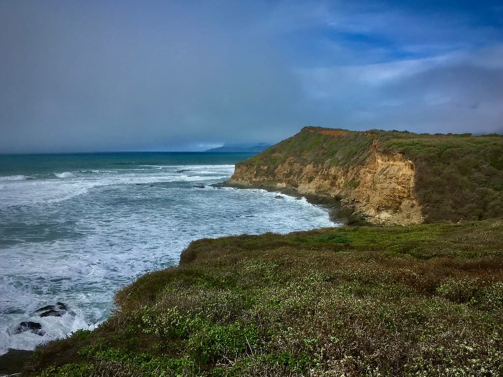
Counting the waves…
Counting the waves…
A refined fusion of water purity, environmental stability, and communal vibrancy for Bold Point Shore.
View MethodologyAnalyzed via live sensors and environmental data.
Wave height, wind, and atmospheric stability.
Live footfall and crowd balance metrics.
Community reviews and curated sentiment.
“You'll find this sliver of public beach wedged between East Providence's working waterfront and the bike path that hugs the bay. Gulls wheel overhead as runners pass behind you, and across the water, Providence's…”
Limited recent visitor reports — live OBI telemetry is your best guide for current conditions.
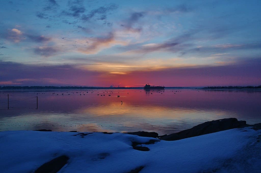
Bold Point Shore occupies a curious pocket of East Providence's coastline—a thin crescent of sand and pebble where the city's grid meets the tidal flats of Upper Narragansett Bay. You reach it via a parking lot that doubles as a trailhead for the East Bay Bike Path, where cyclists click past in Lycra while you spread your towel on coarse sand studded with clamshells. The beach stretches perhaps two hundred feet, bookended by rocky outcrops where cormorants dry their wings.
The water here carries the faint mineral scent of brackish estuary, cooler than ocean beaches to the south but swimmable through summer and into September. You're close enough to hear the hum of I-195 traffic, yet the view erases urban intrusion: sailboats tacking toward Bristol, the shimmer of downtown Providence's buildings catching late-day sun, the green hump of Haines Memorial State Park across the channel.
Brackish bay warmth by July
Calm paddling to protected coves
Fourteen miles beside the water
Where it is
Bold Point Shore
East Providence, Rhode Island, USA
41.752800°, -71.363000°
Weather
Loading…
Swell
—
Temp
Warm · Restorative
UV Index
Moderate
Wind
—
Tidal State
Last known
Max Sunlight
—
Ideal Shade
—
May - Sep (Peak)
Jan - Dec (Off-season)
Historical data suggests peak visibility and stable sea temperatures occur during the prime visitation window.
Select a category to load nearby places.
Unlock restaurants, luxury stays and curated maritime experiences within 2km
Bold Point Shore is primarily a rocky shoreline along the Providence River, not ideal for traditional swimming. The water quality can be affected by urban runoff, and there are no lifeguards on duty. Most visitors use this spot for walking, fishing, and enjoying waterfront views rather than swimming. If you're looking for swimming beaches, nearby Barrington Town Beach or Conimicut Point Park offer better conditions with sandy areas and seasonal amenities.
Bold Point Shore offers year-round access and different experiences each season. Summer provides the warmest weather for waterfront walks and picnics, while spring and fall offer mild temperatures and fewer crowds. Winter visits can be peaceful but windy. Sunrise and sunset visits are particularly rewarding for photographers. The area is accessible 24/7, making it convenient for early morning jogs or evening strolls along the urban waterfront whenever weather permits.
Bold Point Shore is located at the end of Bold Point Avenue in East Providence. Free parking is available in a small lot at Bold Point Park. From Providence, take I-195 East to Exit 3, follow signs toward Waterfront Drive, then turn onto Bold Point Avenue. The park is easily accessible by car, and some visitors bike along the East Bay Bike Path, which runs nearby. Street parking is also available along adjacent residential streets if the lot is full.
Bold Point Shore is a basic urban waterfront park with limited on-site amenities—there are no restrooms or food vendors. However, downtown East Providence is within a few miles, offering various restaurants, cafes, and convenience stores. The nearby Watchemoket Square area has dining options. For a bigger selection, Providence's restaurants are just across the river. Visitors should bring their own food and drinks for waterfront picnics, and plan restroom stops beforehand.
Bold Point Shore offers a distinctly urban waterfront experience rather than a traditional sandy beach. Its rocky shoreline provides panoramic views of Providence's skyline, the Providence River, and passing boats. The location is popular with local anglers and dog walkers seeking a quick nature escape within city limits. Its proximity to the East Bay Bike Path makes it a convenient stop for cyclists. The park represents accessible urban waterfronts where residents connect with the bay without leaving the metropolitan area.