Counting the waves…
Counting the waves…
A refined fusion of water purity, environmental stability, and communal vibrancy for Matagorda Beach.
View MethodologyAnalyzed via live sensors and environmental data.
Wave height, wind, and atmospheric stability.
Live footfall and crowd balance metrics.
Community reviews and curated sentiment.
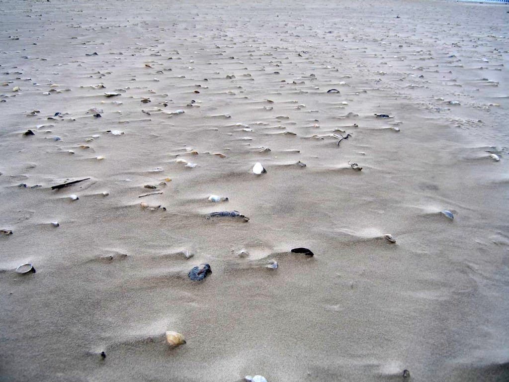
“The salt-heavy breeze carries the smell of spartina grass and diesel from shrimp boats idling at the jetty. Your feet sink into coarse, shell-flecked sand the color of wet cardboard, and brown pelicans dive-bomb the…”
Limited recent visitor reports — live OBI telemetry is your best guide for current conditions.
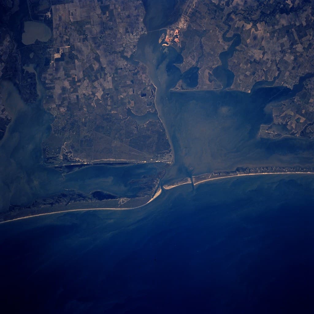
You park on the sand itself, tires carving shallow ruts near the dunes, because Matagorda hasn't bothered with paved lots or parking meters. The beach runs from the Colorado River's mouth southward, a long ribbon of compacted sand firm enough to drive on at low tide. Families pitch canopies and coolers right beside their pickups; anglers wade into the surf with rods already rigged. The water runs murky with sediment from the river, more khaki than turquoise, but that murkiness feeds a thriving ecosystem—redfish, speckled trout, and flounder patrol the shallows.
The Matagorda jetty cuts into the Gulf like a granite finger, drawing fishing boats and birds in equal measure. Walk its barnacle-crusted rocks at dawn and watch shrimpers motor out past the breakers, their nets folded like origami on deck. The town itself—population hovering around 500—consists of a bait shop, a post office, and houses on stilts that have weathered decades of hurricanes with the stoicism of driftwood.
Credit: FlickrFish the Surf
Credit: FlickrJetty at Dawn
Rig for redfish and trout
Shrimp boats and diving pelicans
Colorado River mouth is calm
Where it is
Matagorda Beach
Matagorda, Texas, USA
28.576500°, -95.968700°
Weather
Loading…
Swell
—
Temp
Warm · Restorative
UV Index
Moderate
Wind
—
Tidal State
Last known
Max Sunlight
—
Ideal Shade
—
May - Sep (Peak)
Jan - Dec (Off-season)
Historical data suggests peak visibility and stable sea temperatures occur during the prime visitation window.
Select a category to load nearby places.
Unlock restaurants, luxury stays and curated maritime experiences within 2km
Matagorda Beach is generally safe for swimming, though conditions vary with weather and tides. The Gulf waters here can have moderate currents and occasional undertows, so swim cautiously and stay aware of conditions. There are no lifeguards on duty, so supervise children closely. The beach is also known for good surf fishing, meaning you may encounter anglers with lines in the water. Check local weather forecasts before your visit, avoid swimming during storms or high winds, and always respect red flag warnings posted along the coast.
Matagorda Beach can be visited year-round, with each season offering different advantages. Spring (March-May) and fall (September-November) provide comfortable temperatures in the 70s-80s°F with fewer crowds, ideal for beachcombing and fishing. Summer (June-August) is warmest for swimming but more humid and busier. Winter months are quieter and perfect for bird watching and mild beach walks, though water is too cool for most swimmers. The beach is particularly popular for stunning sunsets throughout the year. Hurricane season runs June through November, so monitor weather forecasts during these months.
Matagorda Beach is located approximately 90 miles southwest of Houston. From Highway 60, follow FM 2031 south into Matagorda, then continue to the beach. The drive from Houston takes roughly 90-120 minutes depending on traffic. Free beach parking is available at the Matagorda Beach County Park, which offers vehicle access directly onto the sand for beach driving. You can drive on the beach itself in designated areas, a unique feature popular with visitors. Four-wheel drive is recommended for soft sand conditions, especially after rain or at high tide.
Matagorda is a small coastal town with limited but authentic options. Several seafood restaurants serve fresh Gulf catches, and there are a few casual eateries and convenience stores for supplies. The town offers vacation rentals, RV parks, and small motels rather than large resorts, giving it an uncrowded, laid-back atmosphere. Basic amenities like restrooms and picnic areas are available at the beach park. For more extensive dining and shopping, Bay City is about 20 miles north. Stock up on groceries and essentials before arriving, as options in town are modest.
Yes, Matagorda Beach permits vehicle access directly onto the sand, which is one of its most distinctive features. This allows visitors to drive along the shoreline and park near their preferred spot, making it convenient for families with gear, fishing equipment, or those with mobility concerns. A valid beach parking permit is required and can be purchased at local vendors or the county park entrance. Four-wheel drive or all-wheel drive vehicles are strongly recommended, as sand conditions can be soft. Always observe posted speed limits, watch for pedestrians, and avoid driving near the dunes.
Photos