Counting the waves…
Counting the waves…
A refined fusion of water purity, environmental stability, and communal vibrancy for Sabine Pass Gulf Beach.
View MethodologyAnalyzed via live sensors and environmental data.
Wave height, wind, and atmospheric stability.
Live footfall and crowd balance metrics.
Community reviews and curated sentiment.
“You park on gravel that crunches under your tires, step over driftwood silvered by salt air, and scan a shoreline where freighters inch along the horizon like iron giants. The wind here tastes of brine and petroleum…”
Limited recent visitor reports — live OBI telemetry is your best guide for current conditions.
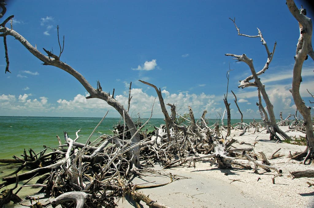
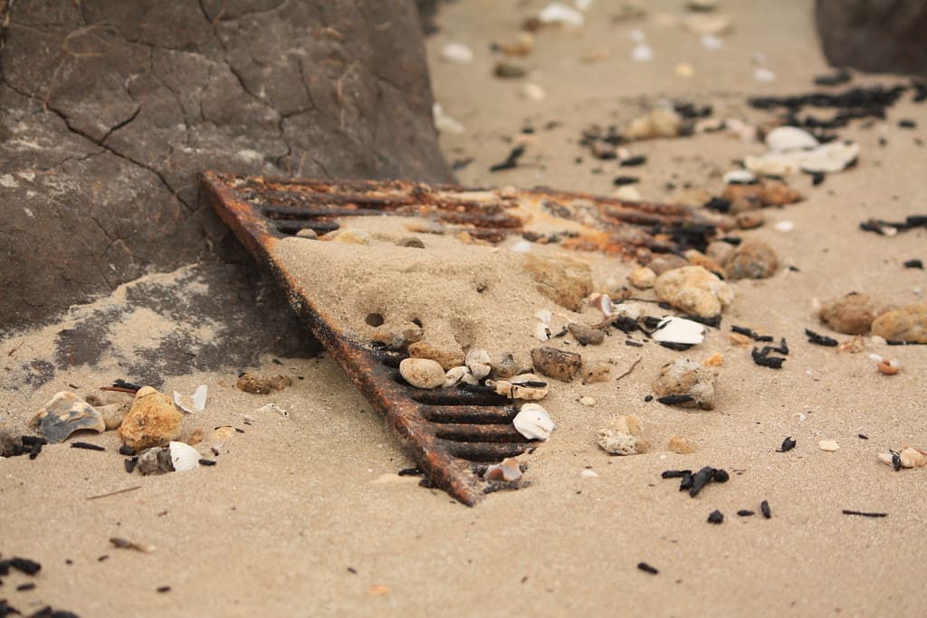
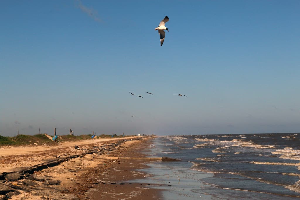
Sabine Pass Gulf Beach occupies the far northeastern corner of the Texas coast, where Highway 87 dead-ends at the Louisiana state line and the Sabine River mouth empties into the Gulf. You drive past oil derricks and marsh grass to reach a beach that feels more industrial waterfront than postcard, yet the emptiness is its own reward. The sand is tan and coarse, littered with bleached shells and the occasional crab trap buoy, and the jetties jutting into the Gulf hum with the patient rhythm of anglers casting into the current.
The water here is murky green-brown, stained by river sediment and tannins from coastal wetlands. You won't find snorkeling or surf breaks, but you will find space—acres of it, especially on weekday afternoons when the only company is pelicans diving and the distant silhouette of cargo ships navigating the Sabine-Neches Ship Channel. The jetties are favorite perches for watching the sun drop behind oil rigs, turning the industrial skyline into something unexpectedly beautiful.
Ship channel meets burning sky
Granite rocks stretch into current
Speckled trout and redfish runs
Where it is
Sabine Pass Gulf Beach
Sabine Pass, Texas, USA
29.668800°, -94.043800°
Weather
Loading…
Swell
—
Temp
Warm · Restorative
UV Index
Moderate
Wind
—
Tidal State
Last known
Max Sunlight
—
Ideal Shade
—
May - Sep (Peak)
Jan - Dec (Off-season)
Historical data suggests peak visibility and stable sea temperatures occur during the prime visitation window.
Select a category to load nearby places.
Unlock restaurants, luxury stays and curated maritime experiences within 2km
Swimming conditions at Sabine Pass Gulf Beach can be unpredictable due to strong currents, especially near the ship channel where the Sabine River meets the Gulf of Mexico. There are no lifeguards on duty, so swim at your own risk. The water is typically murky due to sediment from the river. Check local weather and tide conditions before entering the water, and never swim alone. Wade carefully and watch for drop-offs. The beach is better suited for fishing, beachcombing, and sunset viewing than swimming.
Sabine Pass Gulf Beach is accessible year-round, with spring (March-May) and fall (September-November) offering the most comfortable temperatures and fewer crowds. Summers are hot and humid but popular for fishing. Winter months are mild, though occasional cold fronts bring wind and cooler temperatures. The beach faces southwest, making it exceptional for sunset viewing throughout the year. Visit during weekdays for maximum solitude, as this remote beach sees relatively few visitors even during peak season. Check weather forecasts, as the area is susceptible to tropical systems during hurricane season.
Sabine Pass Gulf Beach is located at the southern end of Texas Highway 87 in Sabine Pass, approximately 15 miles south of Port Arthur. Follow TX-87 south until it ends near the Gulf. Parking is informal, with limited roadside parking areas near the beach access points. The roads can be rough, and a high-clearance vehicle is helpful though not always necessary. There are no designated parking lots or facilities. Be mindful of soft sand and tidal areas when parking to avoid getting stuck.
Sabine Pass Gulf Beach has no on-site amenities—no restrooms, showers, or food vendors. The small community of Sabine Pass, a few miles north, has limited dining options including local seafood restaurants and convenience stores. For lodging, you'll need to stay in Port Arthur (15 miles north) or Orange, which offer hotels and motels. Come prepared with your own food, water, and supplies. Pack out all trash, as there are no garbage facilities. The nearest full-service amenities are in Port Arthur.
Yes, one of the unique features of Sabine Pass Gulf Beach is watching massive cargo ships, tankers, and vessels navigate through the Sabine-Neches Ship Channel as they enter or leave the Gulf of Mexico. The beach sits directly adjacent to this major shipping channel, offering remarkably close views of international maritime traffic. Ship watching is best from the beach areas near the jetties. Bring binoculars for a better view of ship details and flags. The jetties themselves offer excellent vantage points, though exercise caution on the rocks.