Counting the waves…
Counting the waves…
A refined fusion of water purity, environmental stability, and communal vibrancy for Tulalip Bay Shore.
View MethodologyAnalyzed via live sensors and environmental data.
Wave height, wind, and atmospheric stability.
Live footfall and crowd balance metrics.
Community reviews and curated sentiment.
“You'll smell the kelp before you see the water—a briny ribbon of beach where bald eagles perch on weathered logs and the tide pulls back to reveal acres of pebbled flats. This Tulalip shoreline trades white sand for…”
Limited recent visitor reports — live OBI telemetry is your best guide for current conditions.
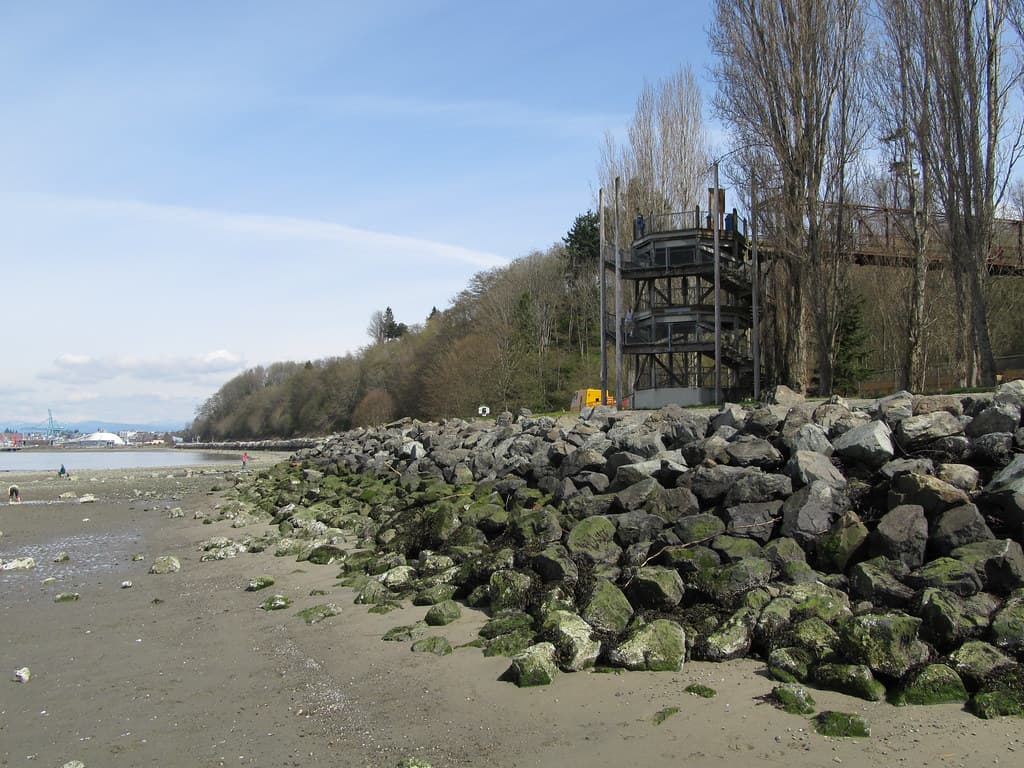
The beach announces itself not with tourist signs but with the crunch of barnacle-crusted rocks beneath your feet. Tulalip Bay Shore stretches along the reservation's western edge, a working waterfront where fishing boats return with the afternoon tide and woodsmoke drifts from shoreline homes. You'll walk past silvered driftwood sculptures carved by winter storms, your boots squelching in tidal pools that mirror the Cascade foothills rising to the east.
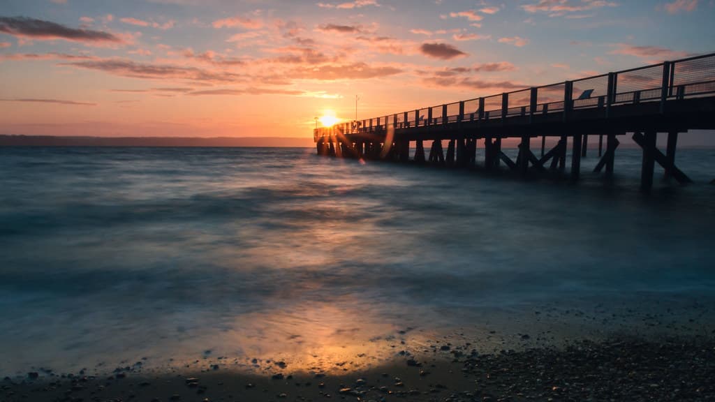
The Salish Sea here is moody—steel-gray one hour, salmon-pink the next—and the wind carries the calls of cormorants and the distant hum of ferries crossing to the San Juan Islands. Low tide transforms the beach into a wide expanse of exposed mudflats and eelgrass beds, where great blue herons stalk through shallow channels. Come at dawn and you might share the sand with no one but oyster harvesters checking their beds.
Credit: PexelsDriftwood Architecture
Bleached sculptures at high tide
Explore exposed beds at low
Launch at protected shoreline
Where it is
Tulalip Bay Shore
Tulalip, Washington, USA
48.081400°, -122.298700°
Weather
Loading…
Swell
—
Temp
Warm · Restorative
UV Index
Moderate
Wind
—
Tidal State
Last known
Max Sunlight
—
Ideal Shade
—
May - Sep (Peak)
Jan - Dec (Off-season)
Historical data suggests peak visibility and stable sea temperatures occur during the prime visitation window.
Select a category to load nearby places.
Unlock restaurants, luxury stays and curated maritime experiences within 2km
Tulalip Bay Shore is generally calm with gentle waves, making it safer than ocean beaches, but swimming conditions vary with tides and seasons. The water remains cold year-round, typically between 45-55°F, which can be dangerous without proper gear. There are no lifeguards on duty. The beach is better suited for wading, beachcombing, and kayaking rather than swimming. Always check tide schedules, as low tides expose mudflats and rocky areas. Supervise children closely and be aware of currents near the bay's openings.
Tulalip Bay Shore offers year-round access, but summer months (June-September) provide the most comfortable weather with temperatures in the 60s-70s°F and less rainfall. However, the beach remains relatively uncrowded even during peak season due to its hidden location. Spring and fall offer excellent beachcombing opportunities and dramatic sunsets with fewer visitors. Winter can be stormy but provides beautiful views and solitude for those prepared for rain. Early mornings and weekdays typically offer the most peaceful experiences regardless of season.
Tulalip Bay Shore is located on the Tulalip Reservation, approximately 35 miles north of Seattle via I-5. Take exit 199 and follow Marine Drive west toward the waterfront. Parking availability is limited and varies by access point along the shoreline. Some areas offer roadside parking while others have small informal lots. As this beach is on tribal land, respect any posted restrictions or private property signs. The area is best accessed by car, with no public transportation directly serving the beach.
The nearby Tulalip Resort Casino complex offers multiple restaurants, hotels, and a spa within a few miles of the beach. Quil Ceda Village, adjacent to the reservation, features chain restaurants and shopping. For groceries and basic supplies, the Tulalip Market Place serves the community. Marysville, about 10 minutes away, has additional dining and lodging options. The beach itself has minimal amenities—no restrooms, food vendors, or facilities—so plan accordingly and bring necessary supplies for your visit.
Shellfish harvesting at Tulalip Bay Shore is regulated by the Tulalip Tribes, as the beach is located on tribal land. Non-tribal members typically cannot harvest shellfish here without specific tribal permits, which differ from Washington State licenses. Regulations protect both the resource and tribal treaty rights. Even if allowed, always check current biotoxin closures through Washington Department of Health, as Puget Sound beaches periodically close due to harmful algae. Observe posted signs and contact Tulalip tribal authorities for current harvesting regulations and permit requirements.
Photos