
The border fence ends at the tide line, its posts rusted to lace by salt spray, barbed wire trailing into kelp wrack where jurisdiction becomes meaningless. You walk the beach scanning for the boundary marker—a weathered concrete pillar half-buried in shifting pebbles, worn smooth by wind and time. To your north, Argentina. South, the same, but somehow different, the way invisible lines reshape perception even when geology refuses to acknowledge them.
“The only beach where you can walk the actual Argentina-Chile border at the Magellan Strait entrance, unmarked and utterly deserted.”
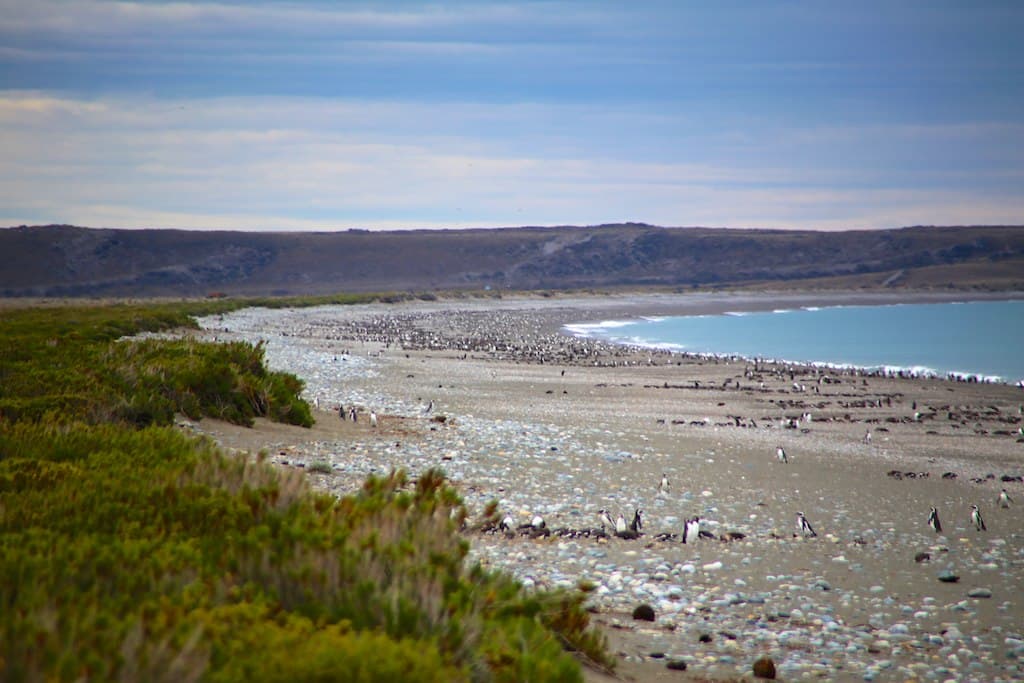 Credit: Flickr
Playa Punta Dungeness Norte — photo by - Adam Reeder -
The pebbles here are smaller than at Costa de los Naufragios, sorted by longshore current into graduated bands—gravel nearest the water, fist-sized stones at the storm line, then larger cobbles cemented with dried salt at the vegetation edge. You find beach-polished bricks, probably from some shepherd's vanished shelter, and fragments of green glass worn into organic shapes. A skua glides past at eye level, riding the updraft where wind hits the low cliff behind you. The western sky threatens weather that may or may not arrive; forecasting here is faith-based.
This is Patagonia's forgotten corner, overshadowed by Cabo Vírgenes five kilometers south and ignored by the handful of travelers who make it this far. No trails lead here, no signs point the way. You navigate by topography and intuition, parking where the track becomes impassable and walking the rest. Sunset turns the Strait molten, backlighting Chilean mountains that look close enough to swim to but aren't. You'll remember this beach as the one where you were truly, completely alone—just you, the wind, and the end of everything familiar.


