

Counting the waves…
Counting the waves…
A refined fusion of water purity, environmental stability, and communal vibrancy for Ship Creek Beach.
View MethodologyAnalyzed via live sensors and environmental data.
Wave height, wind, and atmospheric stability.
Live footfall and crowd balance metrics.
Community reviews and curated sentiment.
“The DOC carpark fills quickly in summer—Ship Creek has earned its reputation. You follow the boardwalk through kahikatea swamp forest, emerging onto dunes where the scale suddenly expands: sand, surf, and the Tasman…”
Limited recent visitor reports — live OBI telemetry is your best guide for current conditions.
Ship Creek Beach arrives in layers. First, the boardwalk through swamp forest—ankle-deep pools reflecting kahikatea trunks, supplejack vines tangling overhead, the air thick with the smell of decay and growth. Then the dunes, golden and windswept, held together by spinifex and pingao grasses that whisper constantly. Finally, the beach itself: broad, sandy, and pounded by surf that travels unimpeded across the Tasman from Tasmania.
The sand here is different from the iron-heavy beaches further north—lighter in color, finer in texture, sculpted by wind into ridges and ripples that shift daily. You climb the highest dune to gain perspective, seeing the beach curve south toward the Haast River mouth and north toward Jackson Bay. Behind you, the mountains rise impossibly steep, their flanks draped in forest so dense that nobody has ever walked through it. Ahead, the surf marches in with metronomic precision, white lines appearing on the horizon and building as they approach.
White cliffs over a desert beach
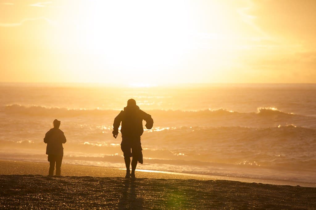
Sunset reflecting on wet sand
Swamp forest and dune trails
Dunes, forest, and surf convergence
Long sandy stretches both directions
Prime Visitation
Best Weather
Where it is
Ship Creek Beach
Hāst, West Coast, New Zealand
-43.714200°, 169.267300°
Weather
Loading…
Swell
—
Temp
Warm · Restorative
UV Index
Moderate
Wind
—
Tidal State
Last known
Max Sunlight
—
Ideal Shade
—
Jan - Dec (Peak)
Mar - Nov (Off-season)
Historical data suggests peak visibility and stable sea temperatures occur during the prime visitation window.
Select a category to load nearby places.
Unlock restaurants, luxury stays and curated maritime experiences within 2km
Swimming at Ship Creek Beach is not recommended. The beach faces wild Tasman Sea surf with powerful waves, strong currents, and cold water. There are no lifeguards or rescue services in this remote location. The beach is best experienced for its scenery, boardwalk walks, and photography rather than water activities. Wading in very shallow water is possible with extreme caution, but never turn your back on the waves. The main attractions are the rainforest boardwalks and coastal viewing rather than swimming or water sports.
The best weather at Ship Creek typically occurs during summer months (December-February), though rain is possible year-round on the West Coast. The beach and boardwalk trails are accessible in all seasons, with each offering different experiences. Spring and summer provide better walking conditions and longer daylight. Autumn can offer dramatic lighting for photography. The location is popular as a scenic stop on the Haast Pass route, so early morning or late afternoon visits may be quieter. Allow 30-60 minutes to explore the boardwalks and beach properly.
Ship Creek Beach is located along State Highway 6 between Haast and the Haast Pass, well-signposted with dedicated parking areas directly off the highway. The site is approximately 10-15km north of Haast township. Parking is free and suitable for cars, campervans, and motorhomes. Two boardwalk trails start from the car park: one through kahikatea swamp forest, another through sand dunes to the beach. Both are easy, well-maintained walks. The location is a popular stop on the West Coast touring route.
Ship Creek Beach has basic Department of Conservation facilities including toilets and information panels at the car park, but no food, water, or commercial services. The nearest town is Haast (approximately 10-15km south), which has limited services including a general store, fuel, cafés, and accommodation. Bring your own food, water, and supplies. Fox Glacier and Franz Josef (north) or Wanaka (east over Haast Pass) offer more comprehensive services. This is a remote area, so come prepared, especially if traveling outside summer months.
Ship Creek Beach stands out for its dramatic combination of coastal rainforest, sand dunes, and wild surf accessible via scenic boardwalks. The kahikatea swamp forest walk showcases ancient trees and lush understory, while the dune lake track offers views of wetlands meeting the sea. The contrast of dense green forest against wild grey beaches and white surf creates striking photographic compositions. The easy boardwalks make this wilderness accessible to most visitors, and the juxtaposition of ecosystems—rainforest, wetland, dunes, and ocean—within minutes of each other is genuinely special.
Photos