Counting the waves…
Counting the waves…
A refined fusion of water purity, environmental stability, and communal vibrancy for Mirlo Beach.
View MethodologyAnalyzed via live sensors and environmental data.
Wave height, wind, and atmospheric stability.
Live footfall and crowd balance metrics.
Community reviews and curated sentiment.
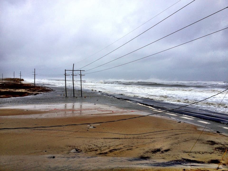
“You reach Mirlo Beach by driving past the shuttered motels and fishing shacks of Rodanthe, where sand drifts across Highway 12 and the Atlantic feels closer than it should. The shore here is wild, edged by dunes that…”
Limited recent visitor reports — live OBI telemetry is your best guide for current conditions.
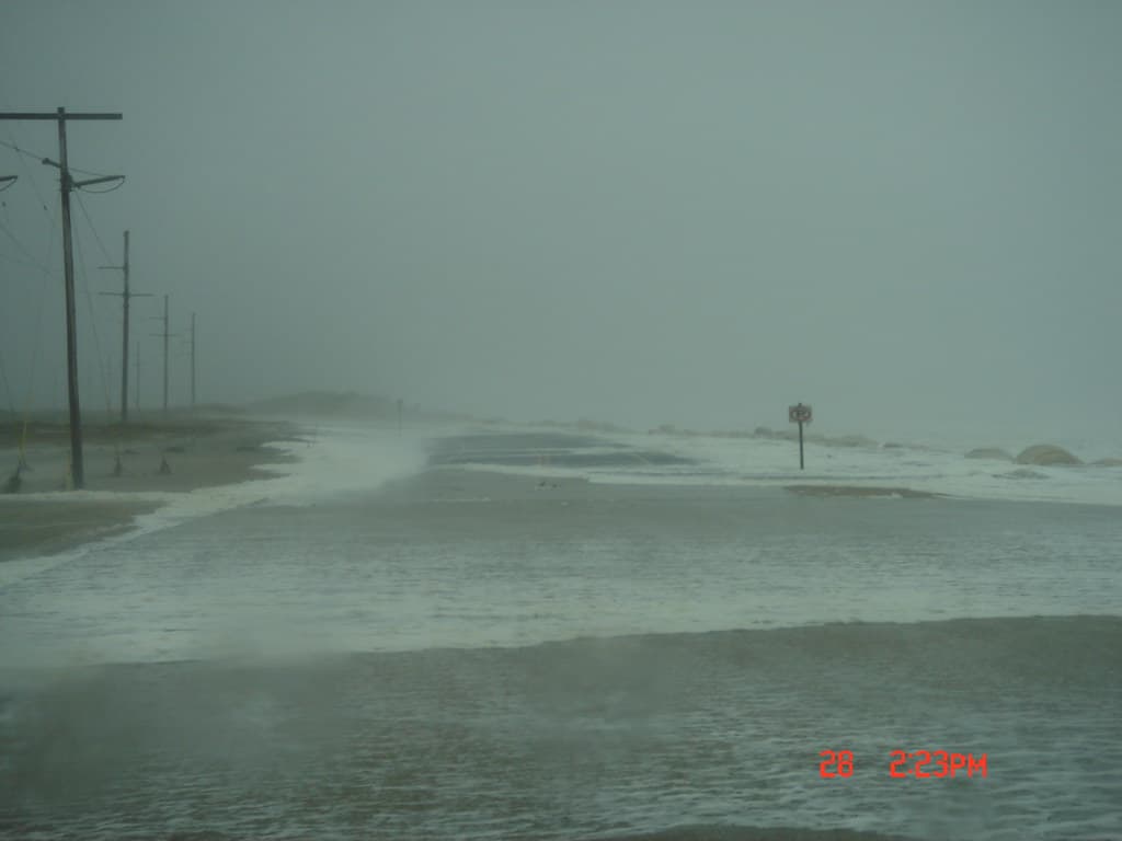
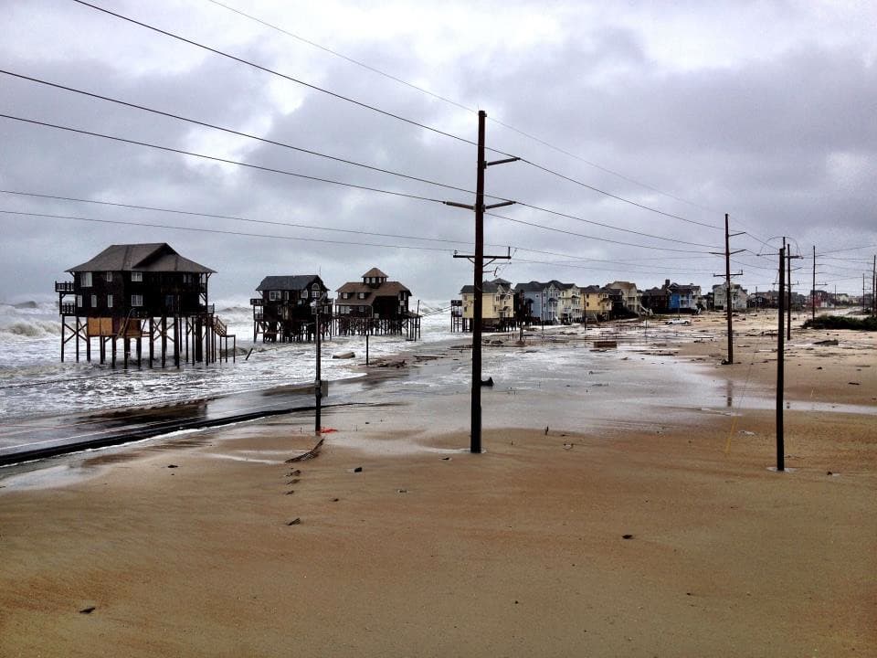
Mirlo Beach unfolds along a stretch of Cape Hatteras National Seashore where the Outer Banks narrows to a ribbon of sand barely wide enough to hold the road. You park beside weathered beach access ramps, their wood silvered by salt air, and walk over dunes studded with American beach grass that hisses in the constant breeze. The ocean here doesn't ask permission—it advances and retreats on its own schedule, carving the shoreline new each season.
The water runs cold most of the year, even in summer, fed by the Labrador Current that sweeps south along the coast. Shorebirds work the tidal wrack—sanderlings darting between waves, gulls riding thermals above the surf. In autumn and spring, you might spot a commercial fishing boat working just beyond the breakers, or a pod of dolphins arcing through the swells. The beach itself is wide and flat at low tide, scattered with shell fragments and the occasional piece of driftwood polished smooth by months at sea.
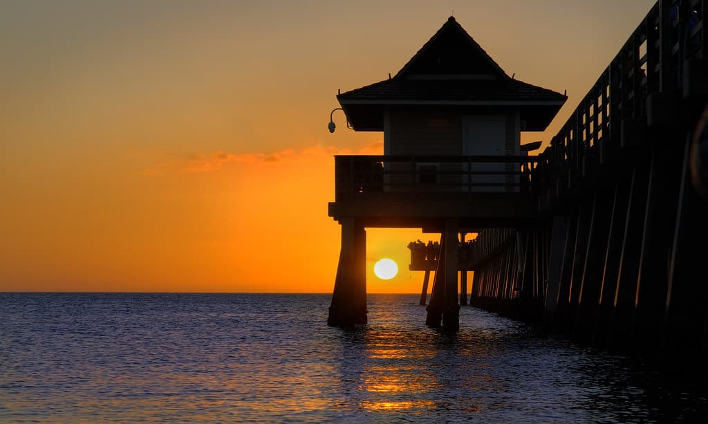
Credit: FlickrRide the Break
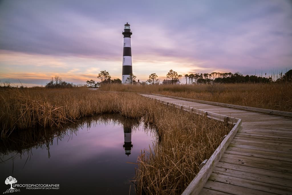
Credit: FlickrChase Storm Light
Consistent swells off sandbars
Dramatic clouds over shifting dunes
Calm waters west of highway
Where it is
Mirlo Beach
Rodanthe, North Carolina, USA
35.573900°, -75.465000°
Weather
Loading…
Swell
—
Temp
Warm · Restorative
UV Index
Moderate
Wind
—
Tidal State
Last known
Max Sunlight
—
Ideal Shade
—
May - Sep (Peak)
Jan - Dec (Off-season)
Historical data suggests peak visibility and stable sea temperatures occur during the prime visitation window.
Select a category to load nearby places.
Unlock restaurants, luxury stays and curated maritime experiences within 2km
Swimming conditions at Mirlo Beach vary with weather and season. The Outer Banks experiences strong currents, rip tides, and changing sandbars, so always check local surf reports before entering the water. There are no lifeguards stationed at this beach, so swim at your own risk. Red flag warnings indicate dangerous conditions. The beach is relatively protected compared to other Outer Banks locations, but ocean swimming always requires caution. Check with local surf shops or the Cape Hatteras National Seashore for current conditions.
Mirlo Beach is accessible year-round, with each season offering different appeals. Summer (June-August) brings warm water and peak beach weather but larger crowds. Spring and fall offer mild temperatures, fewer visitors, and excellent conditions for shelling and beachcombing. Winter provides solitude and dramatic ocean views, though water is cold and winds can be strong. September and October are particularly popular for pleasant weather and smaller crowds. Hurricane season runs June through November, so monitor forecasts if visiting during these months.
Mirlo Beach is located in Rodanthe on Hatteras Island, accessible via NC Highway 12. From the north, cross the Bonner Bridge at Oregon Inlet and continue south approximately 13 miles. Look for beach access ramps in Rodanthe village. Parking is available at public access points along Highway 12, including near the Mirlo Beach area. Some spots have small parking lots while others offer roadside parking. Arrive early during summer for best availability. Four-wheel drive vehicles can access certain beach driving areas with proper permits.
Rodanthe offers limited but authentic dining options, including seafood restaurants and casual eateries within a short drive of Mirlo Beach. Nearby villages Waves and Salvo provide additional choices. Accommodations include vacation rental homes, which dominate the area, plus a few small motels and the historic Chicamacomico Life-Saving Station nearby. For more extensive shopping and dining, Avon is about 15 minutes south. Most visitors stock groceries from shops in Rodanthe or larger stores in Avon, as beachfront dining is sparse in this quiet area.
Mirlo Beach is named after the British tanker Mirlo that was torpedoed by a German submarine on August 16, 1918, just offshore during World War I. The Chicamacomico Life-Saving Station crew launched a daring rescue through burning oil slicks, saving 42 of 52 crew members. This heroic act earned them gold lifesaving medals. The Chicamacomico Life-Saving Station, now a museum about two miles north, preserves this history. Visiting the station adds historical context to your beach visit and honors the brave rescuers of the Outer Banks.
Photos