
Counting the waves…
Counting the waves…
A refined fusion of water purity, environmental stability, and communal vibrancy for Playa Junquillal.
View MethodologyAnalyzed via live sensors and environmental data.
Wave height, wind, and atmospheric stability.
Live footfall and crowd balance metrics.
Community reviews and curated sentiment.
“You'll descend through dry tropical forest to discover a crescent of charcoal sand framed by headlands thick with gumbo-limbo and guanacaste trees. The bay's calm is purposeful—marine park boundaries ensure the only…”
Limited recent visitor reports — live OBI telemetry is your best guide for current conditions.
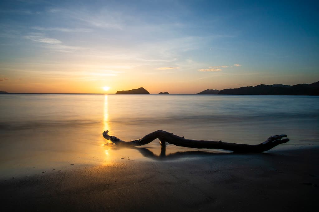
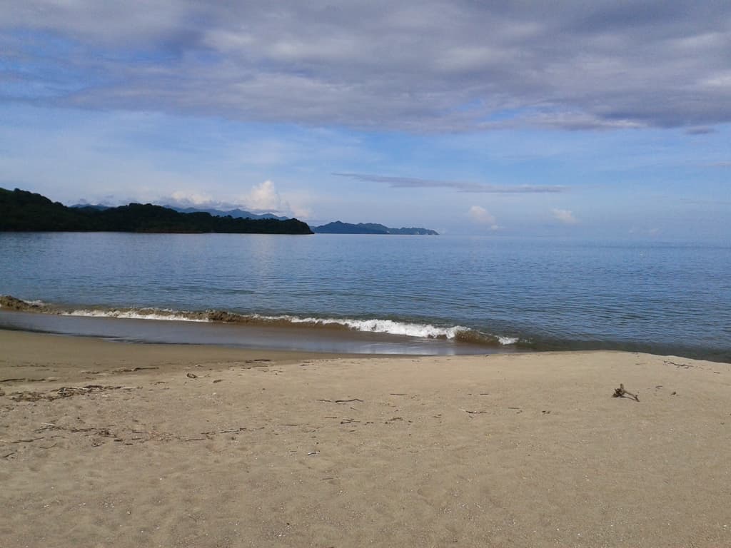
Playa Junquillal unfurls in a tight crescent where Santa Rosa's coastal sector meets the ocean, its volcanic sand dark as graphite and fine enough to sift between your fingers. The forest presses close here—white-faced capuchins rustle the canopy overhead, and coatis nose through driftwood piles searching for crabs, undisturbed by your presence. This beach sits within national park boundaries, a designation that keeps development at bay and leaves the strand feeling elemental, shaped only by tides and the north Pacific's rhythms.
Wade into water that reflects the sky's mood—glassy pewter on calm mornings, churned jade when afternoon winds kick up—and feel the sand slope away beneath your feet in gentle increments. The bay's embrace mutes the ocean's wildest impulses; waves arrive as polite swells that unfurl across the shorebreak without violence. Behind you, trails snake inland toward ranger stations and remote surf breaks, but most visitors anchor themselves here, content with the horseshoe's symmetry and the knowledge that the nearest road requires commitment.
Credit: FlickrProtected Bay Swimming
Calm park-sheltered waters
Monkeys, coatis, and birds
Capuchins forage at forest edge
Prime Visitation
Best Weather|Less Crowds
Where it is
Playa Junquillal
Cuajiniquil, Guanacaste, Costa Rica
10.951600°, -85.680500°
Weather
Loading…
Swell
—
Temp
Warm · Restorative
UV Index
Moderate
Wind
—
Tidal State
Last known
Max Sunlight
—
Ideal Shade
—
Jan - Dec (Peak)
May - Nov (Off-season)
Best Weather|Less Crowds
Select a category to load nearby places.
Unlock restaurants, luxury stays and curated maritime experiences within 2km
Playa Junquillal's protected bay location within Santa Rosa's northern coastal zone typically provides calmer waters than open-ocean beaches, making it relatively suitable for families. However, conditions vary with tides and winds, so always supervise children closely and assess the water before swimming. No lifeguards are present at this remote beach. The quiet, less-developed nature means fewer people around in emergencies. The beach's scenic, natural setting offers excellent opportunities for tidepooling and gentle water play during calm conditions. Bring all necessary safety equipment and supplies for your family.
Playa Junquillal is best visited during the dry season (December-April) when roads are more accessible and weather is consistently sunny. However, the green season (May-November) offers even fewer crowds if you don't mind occasional rain and can navigate potentially muddy roads. The beach is lovely year-round due to its protected position. Weekdays provide the quietest experience, while late afternoons feature beautiful sunsets over the bay. Winds tend to be calmer in early morning, ideal for swimming and kayaking if you bring your own equipment.
Access Playa Junquillal from the small fishing village of Cuajiniquil, located about 70km north of Liberia via paved and gravel roads. From Cuajiniquil, you may need local directions to find the beach access, as it lies within or near Santa Rosa National Park's northern coastal area. A 4WD vehicle is strongly recommended, especially during rainy season when roads become challenging. The route involves unpaved sections requiring careful driving. Check road conditions locally before attempting the journey. GPS coordinates are helpful as signage is limited in this remote region.
The nearby village of Cuajiniquil offers very basic accommodations and local sodas (simple restaurants) serving traditional Costa Rican meals. Don't expect tourist amenities—this is an authentic fishing village with limited services. Most visitors bring their own food and supplies for beach days. The closest town with more services is La Cruz, about 30-40km away. Some travelers camp if permitted in this coastal zone, though you'll need to be self-sufficient. For comfort-focused travelers, staying in La Cruz or elsewhere and day-tripping is advisable, though the remote location rewards those seeking authentic experiences.
This Playa Junquillal (not to be confused with the more developed beach of the same name further south) offers an authentic, protected bay experience within Santa Rosa National Park's northern coastal zone. Its sheltered waters and quiet atmosphere contrast sharply with Guanacaste's bustling resort beaches. The location provides opportunities to observe local fishing culture in nearby Cuajiniquil while enjoying scenic, undeveloped coastline. The beach's position near the Santa Elena Peninsula creates unique sunset views and potential wildlife sightings from the adjacent national park. It represents Guanacaste's vanishing undiscovered coastal treasures.
Photos